Case Study - Transforming Geospatial Data into Mineral Insights through ML Workflow Automation
A scalable, automated machine learning workflow to extract actionable insights from complex geospatial datasets—used for mineral potential mapping in Australia.
- Client
- Geoscience Research Group
- Year
- Service
- 3D visualization (Three.js), Offline-first GIS, Machine learning integration, Digital twin development
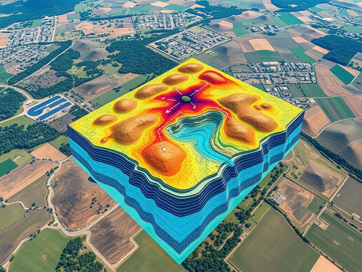
Overview
Extracting insights from geospatial data is often slow, manual, and code-heavy. To accelerate discovery and empower research teams, we created a fully automated geospatial ML workflow—built in Python and deployed on the National Computational Infrastructure (NCI).
The system starts with raw satellite and terrain data, followed by automated preprocessing and data cleaning. It then runs multiple machine learning models—such as Random Forest, SVR, and XGBoost—to detect mineral potential across regions. The workflow includes feature ranking, Bayesian hyperparameter tuning, and model performance comparison to ensure reliable outputs.
Visualizations and model outputs are presented via intuitive dashboards, enabling stakeholders to identify high-potential zones for minerals like iron, gold, and copper. This streamlined pipeline reduces manual effort and speeds up the path from data to decision.
This ML pipeline helped us go from raw terrain data to highly accurate mineral insights in days instead of weeks

Geospatial Analyst