Canberra, Australia
Geospatial & cloud solutions
I'm Sheece Gardezi. I've spent a decade building mapping platforms, data pipelines, and cloud systems for government agencies like Geoscience Australia and CSIRO. Now my team and I bring that same quality to growing businesses.
Loading the globe…
Previously delivered for
Our work What we build
From interactive maps to full cloud platforms, here's what we've shipped recently.
Built on real experience
Years experience
Projects delivered
Government agencies
System uptime
The geospatial ML pipeline transformed our data processing capabilities. What previously took weeks now completes in hours, enabling faster delivery of critical geological insights to researchers and emergency responders.
What we do Maps, data, and cloud — from idea to launch
Whether you need a simple interactive map or a full data platform, we handle everything from design to deployment.
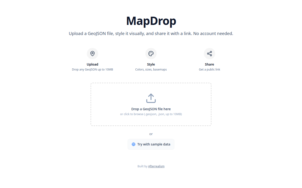
MapDrop, one of our live products
- Custom map solutions Interactive maps, dashboards, and spatial tools for your website or internal team. From simple store locators to full geospatial platforms.
- Web applications Modern web apps built with the same tech stack we use for government systems. Fast, reliable, and designed for real users.
- Data & AI solutions Turn your data into insights with dashboards, automated pipelines, and AI-powered analysis. We handle everything from database setup to visualisation.
- Cloud setup & hosting AWS and Azure infrastructure that scales with your business. We set it up, secure it, and keep it running.
Technology expertise
Have a project in mind?
Tell us where you need to get to. We'll map the route — scope, timeline, and a fixed price — in a free 30-minute consultation.