Geospatial AI 26 January 2025 14 min read
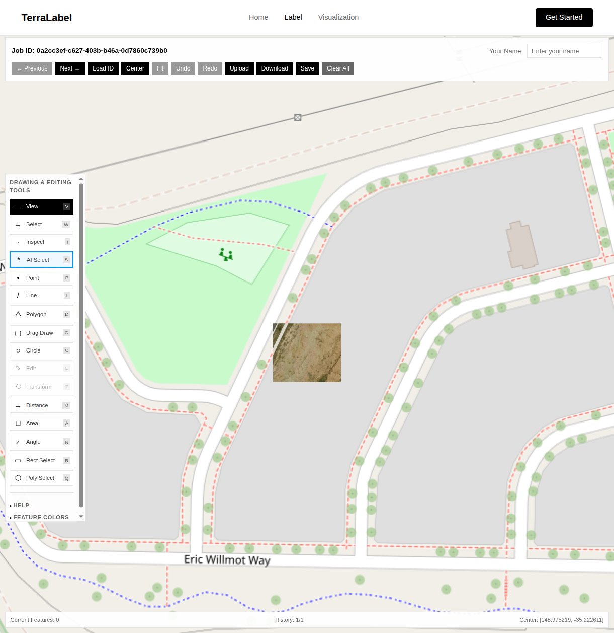
One Click to Polygon: SAM2-Powered Satellite Labeling
TerraLabel turns a single click into a precise vector polygon on satellite imagery. Open-source, built on SAM2, deck.gl, and FastAPI.
Read article
Deep dives into geospatial AI, cloud-native infrastructure, machine learning pipelines, and the emerging technologies shaping how we understand and interact with spatial data.
Get insights on geospatial technology, cloud infrastructure, and emerging ML techniques delivered to your inbox.